Rooftops of Fortuneswell
Introduction
The photograph on this page of Rooftops of Fortuneswell by Gillian Thomas as part of the Geograph project.
The Geograph project started in 2005 with the aim of publishing, organising and preserving representative images for every square kilometre of Great Britain, Ireland and the Isle of Man.

There are currently over 7.5m images from over 14,400 individuals and you can help contribute to the project by visiting https://www.geograph.org.uk
Rooftops of Fortuneswell
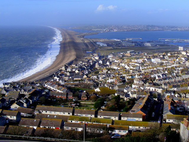
Image: © Gillian Thomas Taken: 20 Nov 2009
From the Portland Heights we can view the rooftops of Fortuneswell, the seven miles of Chesil Beach and Portland Harbour.
Images are licensed for reuse under creativecommons.org/licenses/by-sa/2.0
Image Location
Latitude
50.559599
Longitude
-2.443239