Buerton Windmill
Introduction
The photograph on this page of Buerton Windmill by Gareth Hughes as part of the Geograph project.
The Geograph project started in 2005 with the aim of publishing, organising and preserving representative images for every square kilometre of Great Britain, Ireland and the Isle of Man.

There are currently over 7.5m images from over 14,400 individuals and you can help contribute to the project by visiting https://www.geograph.org.uk
Buerton Windmill
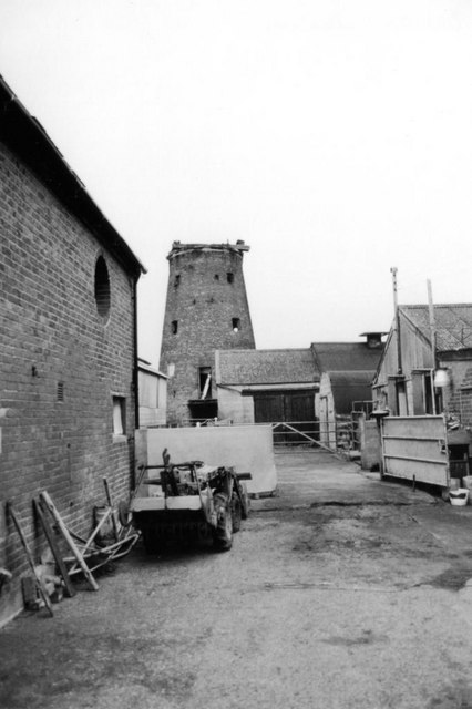
Image: © Gareth Hughes Taken: Unknown
Photographed before it was converted into a house about 1995. The farmyard in the foreground has also been "tidied up" since.
Images are licensed for reuse under creativecommons.org/licenses/by-sa/2.0
Image Location
Latitude
52.992222
Longitude
-2.469387