Coxland's Rock approaching Northway Farm
Introduction
The photograph on this page of Coxland's Rock approaching Northway Farm by Derek Harper as part of the Geograph project.
The Geograph project started in 2005 with the aim of publishing, organising and preserving representative images for every square kilometre of Great Britain, Ireland and the Isle of Man.

There are currently over 7.5m images from over 14,400 individuals and you can help contribute to the project by visiting https://www.geograph.org.uk
Coxland's Rock approaching Northway Farm
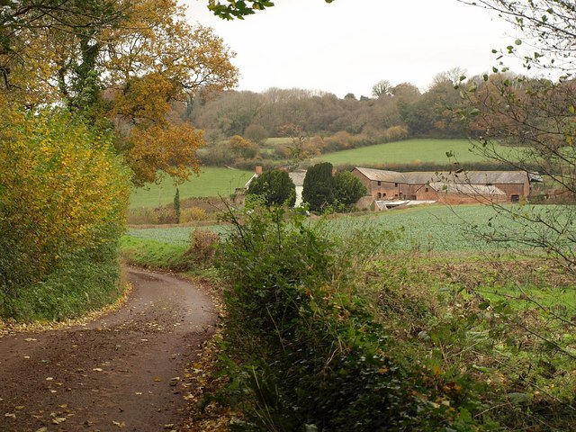
Image: © Derek Harper Taken: 19 Nov 2009
Taken from roughly the same spot as Image, close to the bridge over the Halse Water, but looking in the other direction. Northway Farm, across a gridline, also appears in Image and Image
Images are licensed for reuse under creativecommons.org/licenses/by-sa/2.0
Image Location
Latitude
51.052201
Longitude
-3.234189