Coxland's Rock at Halse Water
Introduction
The photograph on this page of Coxland's Rock at Halse Water by Derek Harper as part of the Geograph project.
The Geograph project started in 2005 with the aim of publishing, organising and preserving representative images for every square kilometre of Great Britain, Ireland and the Isle of Man.

There are currently over 7.5m images from over 14,400 individuals and you can help contribute to the project by visiting https://www.geograph.org.uk
Coxland's Rock at Halse Water
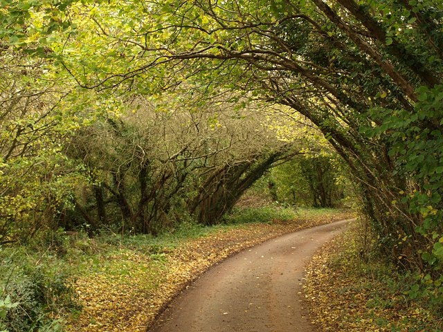
Image: © Derek Harper Taken: 19 Nov 2009
Trees, mostly hazel I think, arch across the lane, seen from the bridge across the Halse Water. This lane follows the line of a Wiveliscombe Trust turnpike road.
Images are licensed for reuse under creativecommons.org/licenses/by-sa/2.0
Image Location
Latitude
51.051753
Longitude
-3.234034