Disused railway bridge across river Ely
Introduction
The photograph on this page of Disused railway bridge across river Ely by nantcoly as part of the Geograph project.
The Geograph project started in 2005 with the aim of publishing, organising and preserving representative images for every square kilometre of Great Britain, Ireland and the Isle of Man.

There are currently over 7.5m images from over 14,400 individuals and you can help contribute to the project by visiting https://www.geograph.org.uk
Disused railway bridge across river Ely
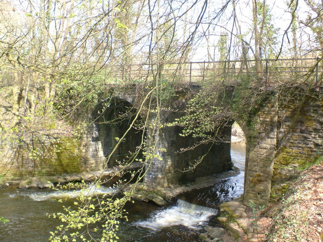
Image: © nantcoly Taken: 26 Apr 2006
This bridge is on the confluence of the river Ely and Nant Muchudd, and was the principal railway line up the Ely valley towards tonyrefail
Images are licensed for reuse under creativecommons.org/licenses/by-sa/2.0
Image Location
Latitude
51.539405
Longitude
-3.39426