Road to Northway
Introduction
The photograph on this page of Road to Northway by Derek Harper as part of the Geograph project.
The Geograph project started in 2005 with the aim of publishing, organising and preserving representative images for every square kilometre of Great Britain, Ireland and the Isle of Man.

There are currently over 7.5m images from over 14,400 individuals and you can help contribute to the project by visiting https://www.geograph.org.uk
Road to Northway
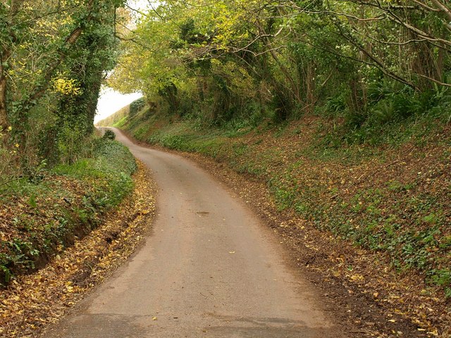
Image: © Derek Harper Taken: 19 Nov 2009
Climbing away from the valley at Queensbridge, this is the C18 turnpike road from Bishop's Lydeard to Wiveliscombe, which here also forms the parish boundary between Halse (left) and Ash Priors.
Images are licensed for reuse under creativecommons.org/licenses/by-sa/2.0
Image Location


Leaflet Map data © OpenStreetMap
Latitude
51.056638
Longitude
-3.222749