Field at Ash Priors
Introduction
The photograph on this page of Field at Ash Priors by Derek Harper as part of the Geograph project.
The Geograph project started in 2005 with the aim of publishing, organising and preserving representative images for every square kilometre of Great Britain, Ireland and the Isle of Man.

There are currently over 7.5m images from over 14,400 individuals and you can help contribute to the project by visiting https://www.geograph.org.uk
Field at Ash Priors
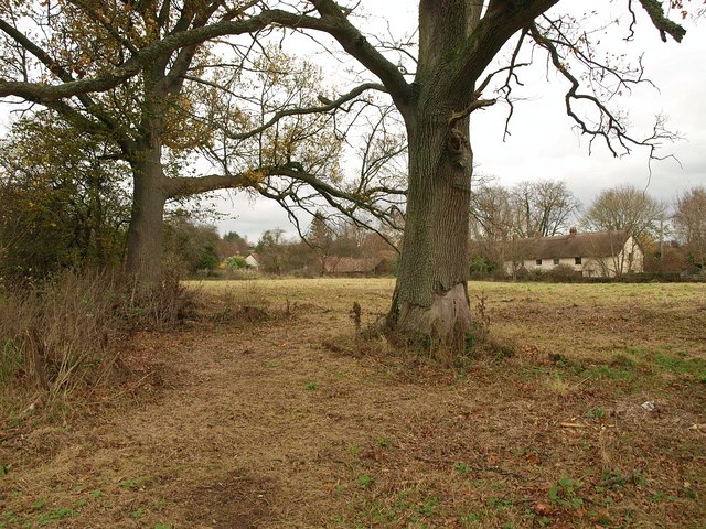
Image: © Derek Harper Taken: 19 Nov 2009
Taken from footpath T1/11 as it passes the trees shown in Image Across the field are buildings on the main village street, including a pair of thatched C17 cottages on the right http://webapp1.somerset.gov.uk/her/details.asp?prn=40357 .
Images are licensed for reuse under creativecommons.org/licenses/by-sa/2.0
Image Location


Leaflet Map data © OpenStreetMap
Latitude
51.056571
Longitude
-3.211903