Thameside Footpath follows the Flood Wall
Introduction
The photograph on this page of Thameside Footpath follows the Flood Wall by N Chadwick as part of the Geograph project.
The Geograph project started in 2005 with the aim of publishing, organising and preserving representative images for every square kilometre of Great Britain, Ireland and the Isle of Man.

There are currently over 7.5m images from over 14,400 individuals and you can help contribute to the project by visiting https://www.geograph.org.uk
Thameside Footpath follows the Flood Wall
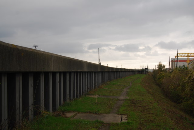
Image: © N Chadwick Taken: 8 Nov 2009
This flood wall is part of the defences to protect the area downstream of the Woolwich Flood Barrier (The Thames Gateway area) from flooding. The wall helps protect large quantities of heavy industry.
Images are licensed for reuse under creativecommons.org/licenses/by-sa/2.0
Image Location


Leaflet Map data © OpenStreetMap
Latitude
51.470901
Longitude
0.254747