St Mary's church - churchyard
Introduction
The photograph on this page of St Mary's church - churchyard by Evelyn Simak as part of the Geograph project.
The Geograph project started in 2005 with the aim of publishing, organising and preserving representative images for every square kilometre of Great Britain, Ireland and the Isle of Man.

There are currently over 7.5m images from over 14,400 individuals and you can help contribute to the project by visiting https://www.geograph.org.uk
St Mary's church - churchyard
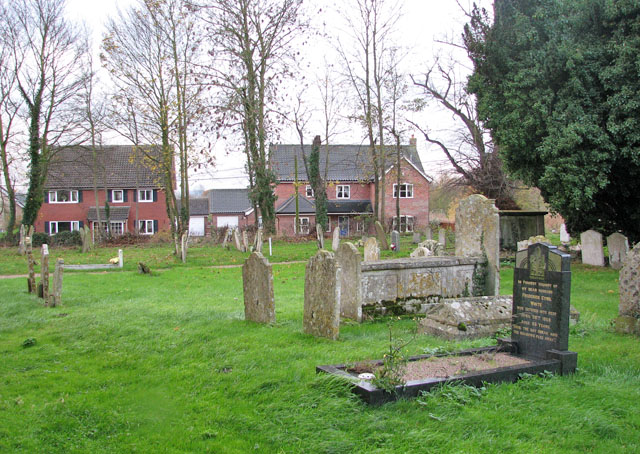
Image: © Evelyn Simak Taken: 23 Nov 2009
View across the south-western section of St Mary's > http://www.geograph.org.uk/photo/1593696 churchyard. The houses seen in the background are situated along The Street.
Images are licensed for reuse under creativecommons.org/licenses/by-sa/2.0
Image Location
Latitude
52.420572
Longitude
1.251463