Footpath across upper Clay Wood Brook
Introduction
The photograph on this page of Footpath across upper Clay Wood Brook by Richard Kay as part of the Geograph project.
The Geograph project started in 2005 with the aim of publishing, organising and preserving representative images for every square kilometre of Great Britain, Ireland and the Isle of Man.

There are currently over 7.5m images from over 14,400 individuals and you can help contribute to the project by visiting https://www.geograph.org.uk
Footpath across upper Clay Wood Brook
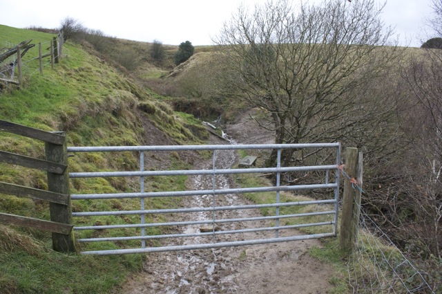
Image: © Richard Kay Taken: 24 Nov 2009
Boots needed here! An example of the upper reaches of a watercourse cutting a steep V-shaped valley into the hillside.
Images are licensed for reuse under creativecommons.org/licenses/by-sa/2.0
Image Location
Latitude
53.645918
Longitude
-1.862003