Ring Road View
Introduction
The photograph on this page of Ring Road View by Gordon Griffiths as part of the Geograph project.
The Geograph project started in 2005 with the aim of publishing, organising and preserving representative images for every square kilometre of Great Britain, Ireland and the Isle of Man.

There are currently over 7.5m images from over 14,400 individuals and you can help contribute to the project by visiting https://www.geograph.org.uk
Ring Road View
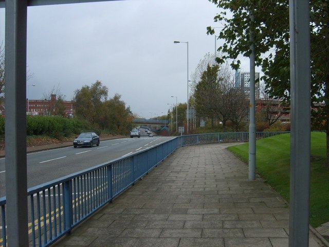
Image: © Gordon Griffiths Taken: 4 Nov 2009
Ring Road St Davids Wolverhampton viewed from Horseley Fields, with the Chubb Building on the skyline to the left.
Images are licensed for reuse under creativecommons.org/licenses/by-sa/2.0
Image Location


Leaflet Map data © OpenStreetMap
Latitude
52.585594
Longitude
-2.12128