Housing at Cotford St Luke
Introduction
The photograph on this page of Housing at Cotford St Luke by Derek Harper as part of the Geograph project.
The Geograph project started in 2005 with the aim of publishing, organising and preserving representative images for every square kilometre of Great Britain, Ireland and the Isle of Man.

There are currently over 7.5m images from over 14,400 individuals and you can help contribute to the project by visiting https://www.geograph.org.uk
Housing at Cotford St Luke
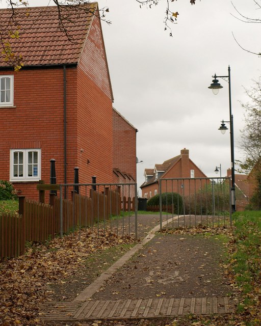
Image: © Derek Harper Taken: 19 Nov 2009
Footpath T4/18 enters the housing development at Cotford St Luke, climbing from the flood plain of the Halse Water. The housing on the left is on Venn Close, which recalls Venn House, the house that stood here from the C15 to the C17 http://webapp1.somerset.gov.uk/her/details.asp?prn=44252 .
Images are licensed for reuse under creativecommons.org/licenses/by-sa/2.0
Image Location
Latitude
51.037719
Longitude
-3.1913