Victoria Bridge near Market Drayton, Shropshire
Introduction
The photograph on this page of Victoria Bridge near Market Drayton, Shropshire by Roger D Kidd as part of the Geograph project.
The Geograph project started in 2005 with the aim of publishing, organising and preserving representative images for every square kilometre of Great Britain, Ireland and the Isle of Man.

There are currently over 7.5m images from over 14,400 individuals and you can help contribute to the project by visiting https://www.geograph.org.uk
Victoria Bridge near Market Drayton, Shropshire
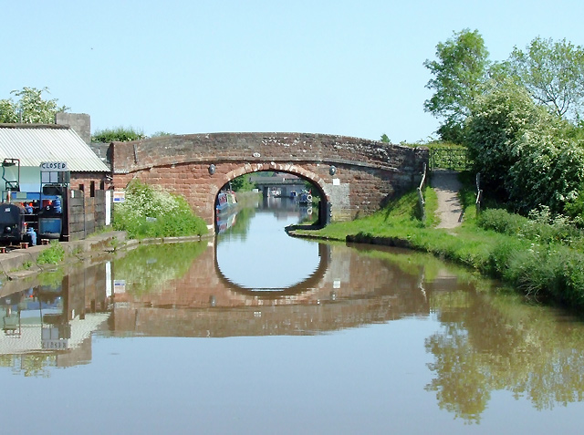
Image: © Roger D Kidd Taken: 24 May 2009
Bridge No 65 on the Shropshire Union Canal (opened in 1835, engineered by Thomas Telford). Victoria Wharf on the left was for many years used for loading and unloading coal, but Orwell's is now a boatyard (coal still available in smaller bags).
Images are licensed for reuse under creativecommons.org/licenses/by-sa/2.0
Image Location
Latitude
52.913438
Longitude
-2.478944