Footpath west of Starston
Introduction
The photograph on this page of Footpath west of Starston by Evelyn Simak as part of the Geograph project.
The Geograph project started in 2005 with the aim of publishing, organising and preserving representative images for every square kilometre of Great Britain, Ireland and the Isle of Man.

There are currently over 7.5m images from over 14,400 individuals and you can help contribute to the project by visiting https://www.geograph.org.uk
Footpath west of Starston
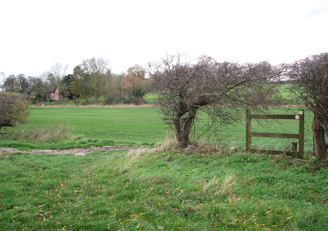
Image: © Evelyn Simak Taken: 23 Nov 2009
The public footpath starts by the former railway station > http://www.geograph.org.uk/photo/1592857 following the dismantled trackbed west before turning northerly. Skirting a field's edge > http://www.geograph.org.uk/photo/1593367 it crosses into a hay meadow where it meets the Beck > http://www.geograph.org.uk/photo/1593375 the course of which it follows in easterly direction, leading past the hollow post windpump > http://www.geograph.org.uk/photo/1592950 and Beck Hall > http://www.geograph.org.uk/photo/1593332 before emerging on The Street just north of the bridge > http://www.geograph.org.uk/photo/1593245.
Images are licensed for reuse under creativecommons.org/licenses/by-sa/2.0
Image Location
Latitude
52.410312
Longitude
1.277768