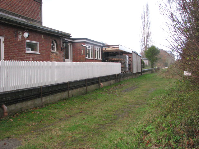
The Waveney Valley Line - view north-west along dismantled trackbed
Introduction
The photograph on this page of The Waveney Valley Line - view north-west along dismantled trackbed by Evelyn Simak as part of the Geograph project.
The Geograph project started in 2005 with the aim of publishing, organising and preserving representative images for every square kilometre of Great Britain, Ireland and the Isle of Man.
There are currently over 7.5m images from over 14,400 individuals and you can help contribute to the project by visiting https://www.geograph.org.uk

Image: © Evelyn Simak Taken: 23 Nov 2009
Here the former Waveney Valley Line passed the since converted Pulham Market station > http://www.geograph.org.uk/photo/1592892. This is now a private track leading into a pasture. The Waveney Valley Line ran from a junction with the London to Norwich mainline at Tivetshall > http://www.geograph.org.uk/photo/1572341 - http://www.geograph.org.uk/photo/1572337, servicing the market towns of Harleston,, Bungay and Beccles, where it connected with the East Suffolk line to Yarmouth. The line was opened between 1855 and 1863 but its first stations (Starston > http://www.geograph.org.uk/photo/1592857 and Redenhall) were closed as early as 1866. The passenger service was eventually withdrawn in 1953. Freight services were but back in 1960 and in 1966 the line was closed. Part of its route - between Harleston and Broome - has since been taken over by the realigned A143 road.

