Norton Fine Farmhouse High Etherley
Introduction
The photograph on this page of Norton Fine Farmhouse High Etherley by Peter Robinson as part of the Geograph project.
The Geograph project started in 2005 with the aim of publishing, organising and preserving representative images for every square kilometre of Great Britain, Ireland and the Isle of Man.

There are currently over 7.5m images from over 14,400 individuals and you can help contribute to the project by visiting https://www.geograph.org.uk
Norton Fine Farmhouse High Etherley
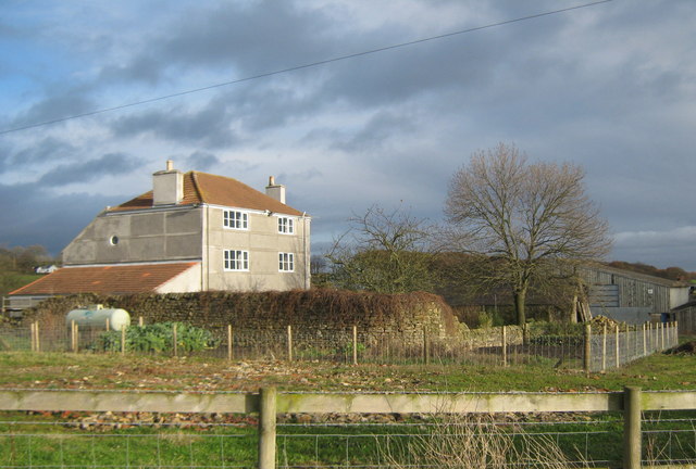
Image: © Peter Robinson Taken: 22 Nov 2009
North west of West Auckland County Durham. Rendered walls unusual for this area.
Images are licensed for reuse under creativecommons.org/licenses/by-sa/2.0
Image Location
Latitude
54.636328
Longitude
-1.746202