Windmill House Sheltered Housing
Introduction
The photograph on this page of Windmill House Sheltered Housing by Amanda King as part of the Geograph project.
The Geograph project started in 2005 with the aim of publishing, organising and preserving representative images for every square kilometre of Great Britain, Ireland and the Isle of Man.

There are currently over 7.5m images from over 14,400 individuals and you can help contribute to the project by visiting https://www.geograph.org.uk
Windmill House Sheltered Housing
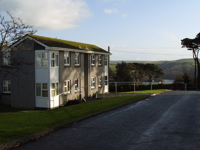
Image: © Amanda King Taken: 22 Nov 2009
Some of the flats have a lovely view over the car park to the river
Images are licensed for reuse under creativecommons.org/licenses/by-sa/2.0
Image Location


Leaflet Map data © OpenStreetMap
Latitude
50.335506
Longitude
-4.639463