End of Newbury Road, Rastrick
Introduction
The photograph on this page of End of Newbury Road, Rastrick by Humphrey Bolton as part of the Geograph project.
The Geograph project started in 2005 with the aim of publishing, organising and preserving representative images for every square kilometre of Great Britain, Ireland and the Isle of Man.

There are currently over 7.5m images from over 14,400 individuals and you can help contribute to the project by visiting https://www.geograph.org.uk
End of Newbury Road, Rastrick
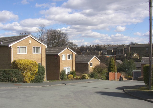
Image: © Humphrey Bolton Taken: 10 Apr 2006
Here it is good to see that the developer has provided a stepped path from the end of the road down to Tofts Grove, and also, to the left of the photo, up to Mayster Grove. The backs of houses along Crowtrees Lane can be seen in the distance.
Images are licensed for reuse under creativecommons.org/licenses/by-sa/2.0
Image Location
Latitude
53.689775
Longitude
-1.795534