Diamond Way
Introduction
The photograph on this page of Diamond Way by Michael Dibb as part of the Geograph project.
The Geograph project started in 2005 with the aim of publishing, organising and preserving representative images for every square kilometre of Great Britain, Ireland and the Isle of Man.

There are currently over 7.5m images from over 14,400 individuals and you can help contribute to the project by visiting https://www.geograph.org.uk
Diamond Way
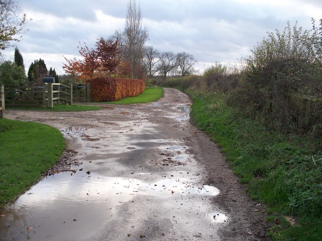
Image: © Michael Dibb Taken: 16 Nov 2009
Having passed through Dorn, the Diamond Way long distance path heads south for Moreton-in-Marsh. This view is on the outskirts of Dorn.
Images are licensed for reuse under creativecommons.org/licenses/by-sa/2.0
Image Location


Leaflet Map data © OpenStreetMap
Latitude
52.00308
Longitude
-1.705261