Bobbers Mill Panorama
Introduction
The photograph on this page of Bobbers Mill Panorama by John Sutton as part of the Geograph project.
The Geograph project started in 2005 with the aim of publishing, organising and preserving representative images for every square kilometre of Great Britain, Ireland and the Isle of Man.

There are currently over 7.5m images from over 14,400 individuals and you can help contribute to the project by visiting https://www.geograph.org.uk
Bobbers Mill Panorama
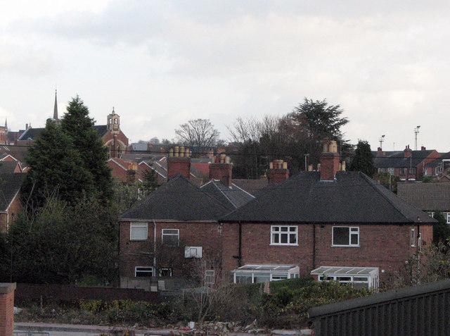
Image: © John Sutton Taken: 20 Nov 2009
This zoom view from the railway footbridge shows the houses of Darley Avenue in the foreground and beyond them the roofs of Chadwick Road (right) and Darley Road (left). St Stephen's Church on Bobbers Mill Road is on the horizon on the left and two of the Radford football ground's floodlights on the right. When I was a boy, this view was blocked by Bobbers Mill, long demolished.
Images are licensed for reuse under creativecommons.org/licenses/by-sa/2.0
Image Location
Latitude
52.967845
Longitude
-1.179251