Footpath junction near Cranbrook Primary School
Introduction
The photograph on this page of Footpath junction near Cranbrook Primary School by David Anstiss as part of the Geograph project.
The Geograph project started in 2005 with the aim of publishing, organising and preserving representative images for every square kilometre of Great Britain, Ireland and the Isle of Man.

There are currently over 7.5m images from over 14,400 individuals and you can help contribute to the project by visiting https://www.geograph.org.uk
Footpath junction near Cranbrook Primary School
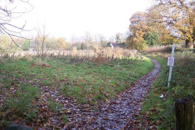
Image: © David Anstiss Taken: 22 Nov 2009
A path from Carriers Road leads straight on towards Quakers Lane. Another footpath heads left towards the A229 Angley Road.
Images are licensed for reuse under creativecommons.org/licenses/by-sa/2.0
Image Location
Latitude
51.100466
Longitude
0.535643