The Road near St Jidgey
Introduction
The photograph on this page of The Road near St Jidgey by Tony Atkin as part of the Geograph project.
The Geograph project started in 2005 with the aim of publishing, organising and preserving representative images for every square kilometre of Great Britain, Ireland and the Isle of Man.

There are currently over 7.5m images from over 14,400 individuals and you can help contribute to the project by visiting https://www.geograph.org.uk
The Road near St Jidgey
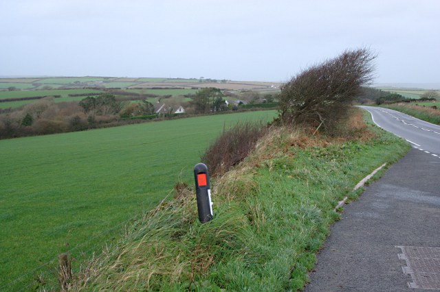
Image: © Tony Atkin Taken: 22 Nov 2009
This photograph was taken from the same lay-by as Image but here we have a bleak chilly November day with a very strong westerly wind blowing across the road letting you know just why that bush on the roadside is the shape it is.
Images are licensed for reuse under creativecommons.org/licenses/by-sa/2.0
Image Location


Leaflet Map data © OpenStreetMap
Latitude
50.488385
Longitude
-4.901486