Flooding at Derryinver
Introduction
The photograph on this page of Flooding at Derryinver by Dean Molyneaux as part of the Geograph project.
The Geograph project started in 2005 with the aim of publishing, organising and preserving representative images for every square kilometre of Great Britain, Ireland and the Isle of Man.

There are currently over 7.5m images from over 14,400 individuals and you can help contribute to the project by visiting https://www.geograph.org.uk
Flooding at Derryinver
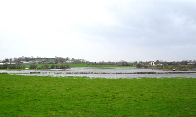
Image: © Dean Molyneaux Taken: 22 Nov 2009
The River Bann, just yards from its entrance into Lough Neagh, has spilled over into surrounding fields near Charlestown/Bannfoot as a result of the November 2009 British Isles floods. In the townland of Derryinver, beside the village of Charlestown - or Bannfoot.
Images are licensed for reuse under creativecommons.org/licenses/by-sa/2.0
Image Location
Latitude
54.504581
Longitude
-6.515724