Lough Lane, Bannfoot
Introduction
The photograph on this page of Lough Lane, Bannfoot by Dean Molyneaux as part of the Geograph project.
The Geograph project started in 2005 with the aim of publishing, organising and preserving representative images for every square kilometre of Great Britain, Ireland and the Isle of Man.

There are currently over 7.5m images from over 14,400 individuals and you can help contribute to the project by visiting https://www.geograph.org.uk
Lough Lane, Bannfoot
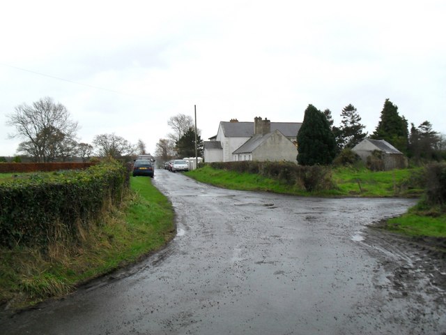
Image: © Dean Molyneaux Taken: 22 Nov 2009
Looking towards Charlestown village and Bannfoot Methodist Church ('Wesleyan Chapel').
Images are licensed for reuse under creativecommons.org/licenses/by-sa/2.0
Image Location
Latitude
54.508206
Longitude
-6.510961