Ballynacor Lane, Derrymacash
Introduction
The photograph on this page of Ballynacor Lane, Derrymacash by Dean Molyneaux as part of the Geograph project.
The Geograph project started in 2005 with the aim of publishing, organising and preserving representative images for every square kilometre of Great Britain, Ireland and the Isle of Man.

There are currently over 7.5m images from over 14,400 individuals and you can help contribute to the project by visiting https://www.geograph.org.uk
Ballynacor Lane, Derrymacash
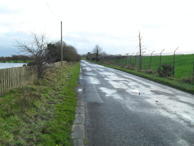
Image: © Dean Molyneaux Taken: 22 Nov 2009
This once continued to Carn however the construction of the sprawling Junction 11 of the M1 in 1967 cut the lane in two, the other half now forming part of the Carbet Road. Townland of Derrymacash.
Images are licensed for reuse under creativecommons.org/licenses/by-sa/2.0
Image Location
Latitude
54.476202
Longitude
-6.410612