West Way, Broadstone.
Introduction
The photograph on this page of West Way, Broadstone. by Nigel Mykura as part of the Geograph project.
The Geograph project started in 2005 with the aim of publishing, organising and preserving representative images for every square kilometre of Great Britain, Ireland and the Isle of Man.

There are currently over 7.5m images from over 14,400 individuals and you can help contribute to the project by visiting https://www.geograph.org.uk
West Way, Broadstone.
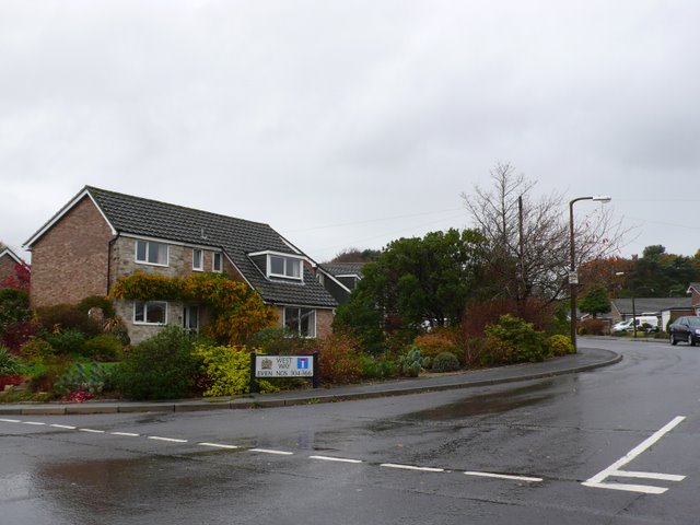
Image: © Nigel Mykura Taken: 22 Nov 2009
West Way is a long straggly residential road snaking through suburban Poole on the southern edge of this grid square. Taken on a cold, grey, wet, windy, November day.
Images are licensed for reuse under creativecommons.org/licenses/by-sa/2.0
Image Location
Latitude
50.755497
Longitude
-2.006611