Signs at Tamnificarbet
Introduction
The photograph on this page of Signs at Tamnificarbet by Dean Molyneaux as part of the Geograph project.
The Geograph project started in 2005 with the aim of publishing, organising and preserving representative images for every square kilometre of Great Britain, Ireland and the Isle of Man.

There are currently over 7.5m images from over 14,400 individuals and you can help contribute to the project by visiting https://www.geograph.org.uk
Signs at Tamnificarbet
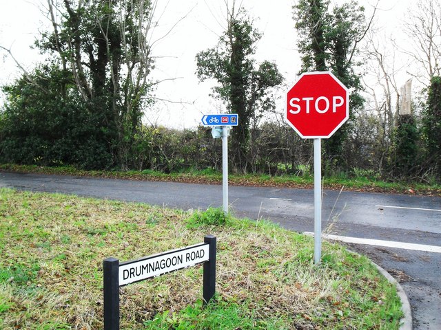
Image: © Dean Molyneaux Taken: 22 Nov 2009
At the junction of the Drumnagoon and Carbet Roads. National Cycle Network route 94 passes through the area as part a loop from Craigavon to Bannfoot.
Images are licensed for reuse under creativecommons.org/licenses/by-sa/2.0
Image Location
Latitude
54.456638
Longitude
-6.405511