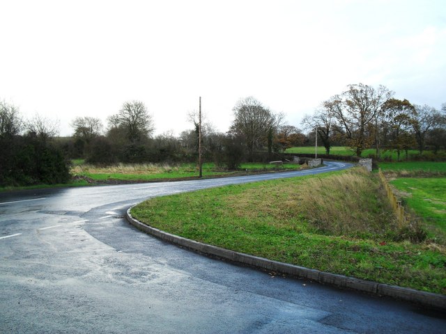
Carbet Road, Tamnificarbet
Introduction
The photograph on this page of Carbet Road, Tamnificarbet by Dean Molyneaux as part of the Geograph project.
The Geograph project started in 2005 with the aim of publishing, organising and preserving representative images for every square kilometre of Great Britain, Ireland and the Isle of Man.
There are currently over 7.5m images from over 14,400 individuals and you can help contribute to the project by visiting https://www.geograph.org.uk

Image: © Dean Molyneaux Taken: 22 Nov 2009
The Carbet Road originally ran from Ballynacor to Balteagh (two townlands to the north-east of Portadown). As part of the Craigavon New Town project in 1968 in which a lot of local farmland was vested, the western section of this road was swallowed up by what was to be the Craigavon Shopping Centre - leaving the Carbet Road to end at Kilvergan. Townland of Tamnificarbet. Seen here at the junction with the Drumnagoon Road, which leads to Carn.

