Derelict building, part of Walnut Tree Farm
Introduction
The photograph on this page of Derelict building, part of Walnut Tree Farm by pam fray as part of the Geograph project.
The Geograph project started in 2005 with the aim of publishing, organising and preserving representative images for every square kilometre of Great Britain, Ireland and the Isle of Man.

There are currently over 7.5m images from over 14,400 individuals and you can help contribute to the project by visiting https://www.geograph.org.uk
Derelict building, part of Walnut Tree Farm
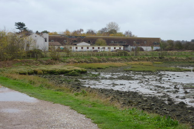
Image: © pam fray Taken: 22 Nov 2009
Situated by Copperhouse Marshes, the site was excavated by Canterbury Archaeological Trust earlier in the year prior to a proposed extension to the existing main building. I believe this building is the disused equestrian centre.The footpath in the foreground is the Saxon Shore Way west of the Riverside Country Park.
Images are licensed for reuse under creativecommons.org/licenses/by-sa/2.0
Image Location
Latitude
51.389966
Longitude
0.585401