Stirling Street
Introduction
The photograph on this page of Stirling Street by Lairich Rig as part of the Geograph project.
The Geograph project started in 2005 with the aim of publishing, organising and preserving representative images for every square kilometre of Great Britain, Ireland and the Isle of Man.

There are currently over 7.5m images from over 14,400 individuals and you can help contribute to the project by visiting https://www.geograph.org.uk
Stirling Street
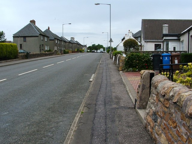
Image: © Lairich Rig Taken: 5 Jul 2008
This is the main road through Dunipace. The Rosebank area is visible on the right-hand side.
Images are licensed for reuse under creativecommons.org/licenses/by-sa/2.0
Image Location
Latitude
56.032551
Longitude
-3.915792