A view of Blockley
Introduction
The photograph on this page of A view of Blockley by Michael Dibb as part of the Geograph project.
The Geograph project started in 2005 with the aim of publishing, organising and preserving representative images for every square kilometre of Great Britain, Ireland and the Isle of Man.

There are currently over 7.5m images from over 14,400 individuals and you can help contribute to the project by visiting https://www.geograph.org.uk
A view of Blockley
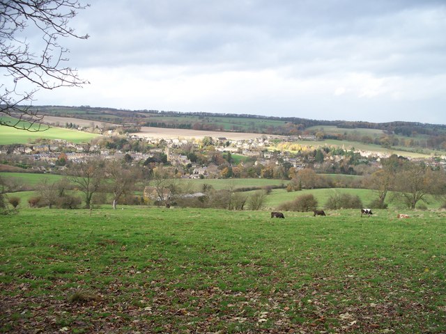
Image: © Michael Dibb Taken: 16 Nov 2009
The combined Heart of England Way and Monarch's Way long distance path has descended very gently from the minor road but where it joins another path, the gradient steepens appreciably. A footpath running along a track flanked with some magnificent trees runs along the contour and affords some wonderful views. This is the view of Blockley.
Images are licensed for reuse under creativecommons.org/licenses/by-sa/2.0
Image Location
Latitude
52.012378
Longitude
-1.761441