Kenn valley above Kenton
Introduction
The photograph on this page of Kenn valley above Kenton by Derek Harper as part of the Geograph project.
The Geograph project started in 2005 with the aim of publishing, organising and preserving representative images for every square kilometre of Great Britain, Ireland and the Isle of Man.

There are currently over 7.5m images from over 14,400 individuals and you can help contribute to the project by visiting https://www.geograph.org.uk
Kenn valley above Kenton
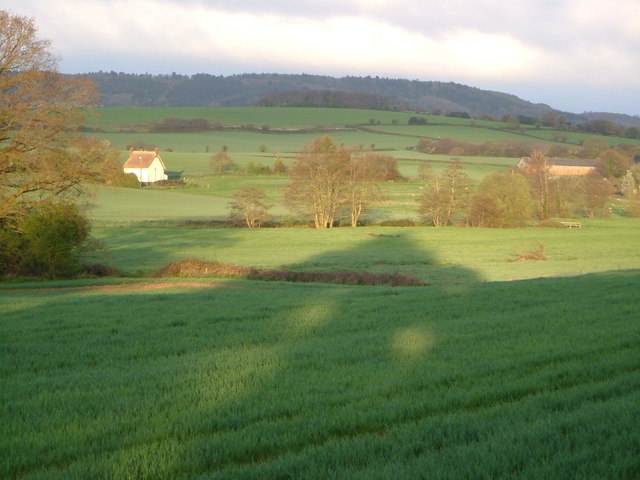
Image: © Derek Harper Taken: 26 Apr 2006
Morning shadows across fields by the River Kenn, with Willsworthy farm (right) and Sampsons (thatched cottage). 6:45 am
Images are licensed for reuse under creativecommons.org/licenses/by-sa/2.0
Image Location
Latitude
50.651461
Longitude
-3.496528