Teversal to Pleasley railway - 2
Introduction
The photograph on this page of Teversal to Pleasley railway - 2 by Trevor Rickard as part of the Geograph project.
The Geograph project started in 2005 with the aim of publishing, organising and preserving representative images for every square kilometre of Great Britain, Ireland and the Isle of Man.

There are currently over 7.5m images from over 14,400 individuals and you can help contribute to the project by visiting https://www.geograph.org.uk
Teversal to Pleasley railway - 2
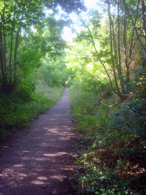
Image: © Trevor Rickard Taken: 11 Sep 2009
Looking southwards from under the Peartree Lane bridge. The old trackbed has now been converted to a cycleway and part of it is also a nature reserve, which has rare plants in the cutting through limestone rock.
Images are licensed for reuse under creativecommons.org/licenses/by-sa/2.0
Image Location
Latitude
53.157559
Longitude
-1.282718