Slades Hill, Enfield
Introduction
The photograph on this page of Slades Hill, Enfield by Christine Matthews as part of the Geograph project.
The Geograph project started in 2005 with the aim of publishing, organising and preserving representative images for every square kilometre of Great Britain, Ireland and the Isle of Man.

There are currently over 7.5m images from over 14,400 individuals and you can help contribute to the project by visiting https://www.geograph.org.uk
Slades Hill, Enfield
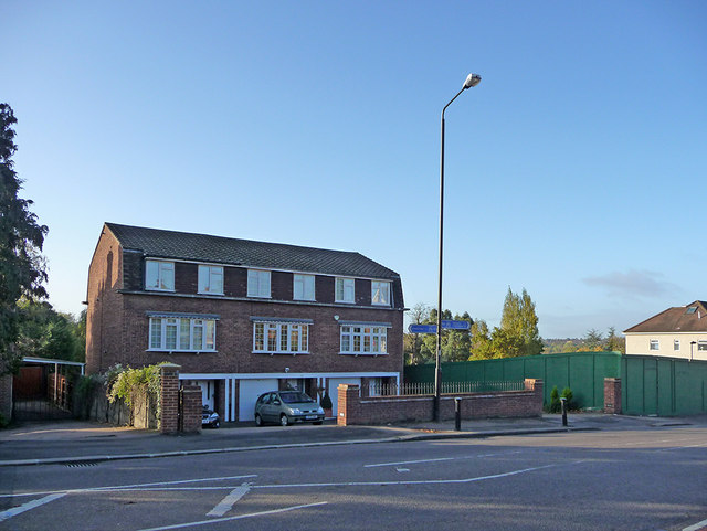
Image: © Christine Matthews Taken: 25 Oct 2009
Looking across Slades Hill from the corner of Slades Hill and Uplands Park Road. Behind the green hoarding on the right there used to be two semi-detached houses, which were demolished earlier in the year. The plot has now been sold so I presume a block of flats will be constructed on the site.
Images are licensed for reuse under creativecommons.org/licenses/by-sa/2.0
Image Location
Latitude
51.65536
Longitude
-0.102029