Farmland and houses, Amersham
Introduction
The photograph on this page of Farmland and houses, Amersham by Andrew Smith as part of the Geograph project.
The Geograph project started in 2005 with the aim of publishing, organising and preserving representative images for every square kilometre of Great Britain, Ireland and the Isle of Man.

There are currently over 7.5m images from over 14,400 individuals and you can help contribute to the project by visiting https://www.geograph.org.uk
Farmland and houses, Amersham
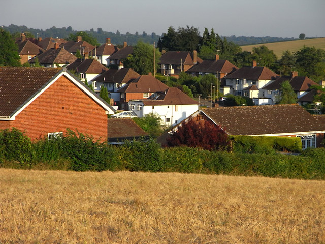
Image: © Andrew Smith Taken: 1 Jul 2009
Looking across to houses on First Avenue from the footpath connecting Station Road and the Old Town. The crop is barley.
Images are licensed for reuse under creativecommons.org/licenses/by-sa/2.0
Image Location
Latitude
51.665571
Longitude
-0.605967