Taunton to Westbury Railway
Introduction
The photograph on this page of Taunton to Westbury Railway by Nigel Mykura as part of the Geograph project.
The Geograph project started in 2005 with the aim of publishing, organising and preserving representative images for every square kilometre of Great Britain, Ireland and the Isle of Man.

There are currently over 7.5m images from over 14,400 individuals and you can help contribute to the project by visiting https://www.geograph.org.uk
Taunton to Westbury Railway
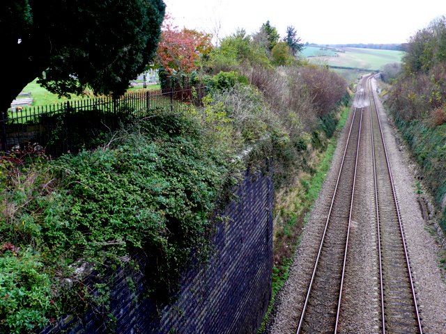
Image: © Nigel Mykura Taken: 11 Nov 2009
In the very north east corner of the square looking north along the tracks. The track runs in a cutting with Somerton cemetery immediately on the left hand side. The view is from the bridge where the B3153 crosses the line.
Images are licensed for reuse under creativecommons.org/licenses/by-sa/2.0
Image Location
Latitude
51.056713
Longitude
-2.729342