Rails under Penny Meadow
Introduction
The photograph on this page of Rails under Penny Meadow by Gerald England as part of the Geograph project.
The Geograph project started in 2005 with the aim of publishing, organising and preserving representative images for every square kilometre of Great Britain, Ireland and the Isle of Man.

There are currently over 7.5m images from over 14,400 individuals and you can help contribute to the project by visiting https://www.geograph.org.uk
Rails under Penny Meadow
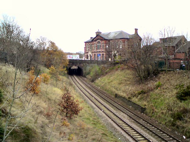
Image: © Gerald England Taken: 19 Nov 2009
The Manchester Victoria to Stalybridge railway line viewed from Romney Street bridge. On the other side of Penny Meadow is Albion Mill. Originally it was Albion Congregational Chapel built in 1834. When a new Chapel was built in 1895, it became Day School. In recent years it was a carpet warehouse but now houses office furniture.
Images are licensed for reuse under creativecommons.org/licenses/by-sa/2.0
Image Location
Latitude
53.490018
Longitude
-2.087678