High or low road?
Introduction
The photograph on this page of High or low road? by Jonathan Billinger as part of the Geograph project.
The Geograph project started in 2005 with the aim of publishing, organising and preserving representative images for every square kilometre of Great Britain, Ireland and the Isle of Man.

There are currently over 7.5m images from over 14,400 individuals and you can help contribute to the project by visiting https://www.geograph.org.uk
High or low road?
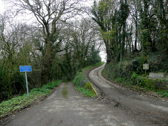
Image: © Jonathan Billinger Taken: 19 Nov 2009
To the left is the public road to St. Keverne via the deep Trenoweth valley. The track to the right leads to Trenance.
Images are licensed for reuse under creativecommons.org/licenses/by-sa/2.0
Image Location
Latitude
50.057927
Longitude
-5.073558