Recreational Area near Westgate Close
Introduction
The photograph on this page of Recreational Area near Westgate Close by David Anstiss as part of the Geograph project.
The Geograph project started in 2005 with the aim of publishing, organising and preserving representative images for every square kilometre of Great Britain, Ireland and the Isle of Man.

There are currently over 7.5m images from over 14,400 individuals and you can help contribute to the project by visiting https://www.geograph.org.uk
Recreational Area near Westgate Close
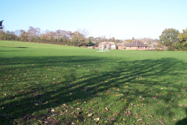
Image: © David Anstiss Taken: 15 Nov 2009
Looking towards Hillside Avenue from close to the bridleway bridge over the A2050.
Images are licensed for reuse under creativecommons.org/licenses/by-sa/2.0
Image Location
Latitude
51.284812
Longitude
1.056234