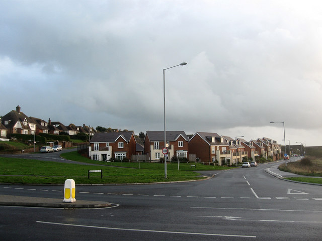
Marine Parade
Introduction
The photograph on this page of Marine Parade by Simon Carey as part of the Geograph project.
The Geograph project started in 2005 with the aim of publishing, organising and preserving representative images for every square kilometre of Great Britain, Ireland and the Isle of Man.
There are currently over 7.5m images from over 14,400 individuals and you can help contribute to the project by visiting https://www.geograph.org.uk

Image: © Simon Carey Taken: 15 Nov 2009
Viewed from the junction with the Buckle By-Pass, the A259. Prior to the latter's construction in 1963 the old course of the A259 followed Marine Parade south towards the sea then along the front skirting the southern side of Hawth Hill before heading inland up Claremont Road. The narrow railway bridge in the distance coupled with another on Claremont Road with weight restrictions along with frequent flooding of Marine Parade necessitated the building of the by-pass. Hawth Hill is the first junction on the left with Station Road on the far left built in 1938 to serve the new station at Bishopstone.

