The River Bann, Banbridge
Introduction
The photograph on this page of The River Bann, Banbridge by Albert Bridge as part of the Geograph project.
The Geograph project started in 2005 with the aim of publishing, organising and preserving representative images for every square kilometre of Great Britain, Ireland and the Isle of Man.

There are currently over 7.5m images from over 14,400 individuals and you can help contribute to the project by visiting https://www.geograph.org.uk
The River Bann, Banbridge
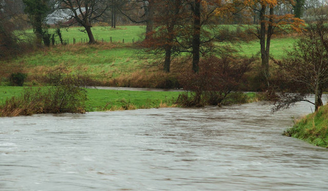
Image: © Albert Bridge Taken: 19 Nov 2009
The Bann, downstream of Lindsay’s Bridge Image, looking very high after some heavy rain recently.
Images are licensed for reuse under creativecommons.org/licenses/by-sa/2.0
Image Location
Latitude
54.34293
Longitude
-6.252449