View to the water meadows
Introduction
The photograph on this page of View to the water meadows by Pauline E as part of the Geograph project.
The Geograph project started in 2005 with the aim of publishing, organising and preserving representative images for every square kilometre of Great Britain, Ireland and the Isle of Man.

There are currently over 7.5m images from over 14,400 individuals and you can help contribute to the project by visiting https://www.geograph.org.uk
View to the water meadows
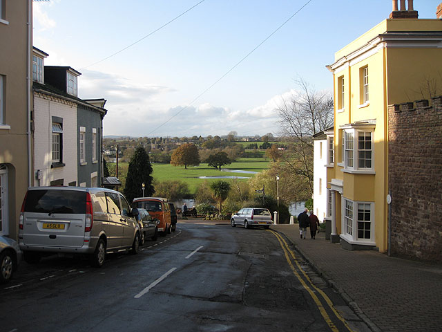
Image: © Pauline E Taken: 17 Nov 2009
From the top of Wye Street the view is across the River Wye to the water meadows beyond which are starting to fill with water after the recent wet spell.
Images are licensed for reuse under creativecommons.org/licenses/by-sa/2.0
Image Location


Leaflet Map data © OpenStreetMap
Latitude
51.914864
Longitude
-2.586688