Upton Wold Farm
Introduction
The photograph on this page of Upton Wold Farm by Michael Dibb as part of the Geograph project.
The Geograph project started in 2005 with the aim of publishing, organising and preserving representative images for every square kilometre of Great Britain, Ireland and the Isle of Man.

There are currently over 7.5m images from over 14,400 individuals and you can help contribute to the project by visiting https://www.geograph.org.uk
Upton Wold Farm
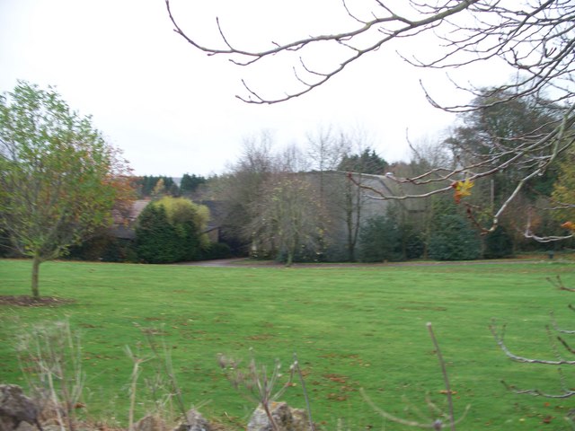
Image: © Michael Dibb Taken: 12 Nov 2009
This view is from the footpath that runs to the rear of the farm. Until recently, the footpath ran through the farm but it has been diverted by statutory order.
Images are licensed for reuse under creativecommons.org/licenses/by-sa/2.0
Image Location
Latitude
52.012156
Longitude
-1.786648