The Clanrye Valley south of Crown Bridge
Introduction
The photograph on this page of The Clanrye Valley south of Crown Bridge by Eric Jones as part of the Geograph project.
The Geograph project started in 2005 with the aim of publishing, organising and preserving representative images for every square kilometre of Great Britain, Ireland and the Isle of Man.

There are currently over 7.5m images from over 14,400 individuals and you can help contribute to the project by visiting https://www.geograph.org.uk
The Clanrye Valley south of Crown Bridge
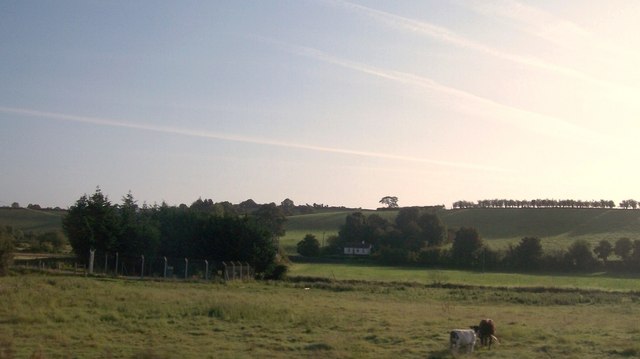
Image: © Eric Jones Taken: 22 Aug 2009
The cottage on the eastern side of the river is the same as that in the image taken by Gavin Mitchell in 2005. The Up-Down written in stone on the hill slope behind the cottage however has gone. 2005 was the year when Down won the All-Ireland Minor Football Championships for the fourth time. Image
Images are licensed for reuse under creativecommons.org/licenses/by-sa/2.0
Image Location
Latitude
54.187417
Longitude
-6.310186