Chitterman Way, Markfield
Introduction
The photograph on this page of Chitterman Way, Markfield by Kate Jewell as part of the Geograph project.
The Geograph project started in 2005 with the aim of publishing, organising and preserving representative images for every square kilometre of Great Britain, Ireland and the Isle of Man.

There are currently over 7.5m images from over 14,400 individuals and you can help contribute to the project by visiting https://www.geograph.org.uk
Chitterman Way, Markfield
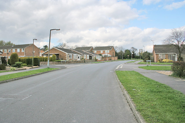
Image: © Kate Jewell Taken: 25 Apr 2006
There's lots of 70s housing in Markfield with typical wide streets of the period.
Images are licensed for reuse under creativecommons.org/licenses/by-sa/2.0
Image Location
Latitude
52.689933
Longitude
-1.269098