Markfield from the Hill at Hill Hole Nature Reserve
Introduction
The photograph on this page of Markfield from the Hill at Hill Hole Nature Reserve by Kate Jewell as part of the Geograph project.
The Geograph project started in 2005 with the aim of publishing, organising and preserving representative images for every square kilometre of Great Britain, Ireland and the Isle of Man.

There are currently over 7.5m images from over 14,400 individuals and you can help contribute to the project by visiting https://www.geograph.org.uk
Markfield from the Hill at Hill Hole Nature Reserve
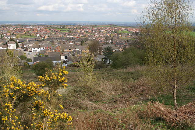
Image: © Kate Jewell Taken: 25 Apr 2006
Looking across Markfield towards Field Head and Lawn Wood. The eastern square boundary is just beyond the older, white painted Houses.
Images are licensed for reuse under creativecommons.org/licenses/by-sa/2.0
Image Location
Latitude
52.690023
Longitude
-1.283891