Information Board, Hill Hole Quarry
Introduction
The photograph on this page of Information Board, Hill Hole Quarry by Kate Jewell as part of the Geograph project.
The Geograph project started in 2005 with the aim of publishing, organising and preserving representative images for every square kilometre of Great Britain, Ireland and the Isle of Man.

There are currently over 7.5m images from over 14,400 individuals and you can help contribute to the project by visiting https://www.geograph.org.uk
Information Board, Hill Hole Quarry
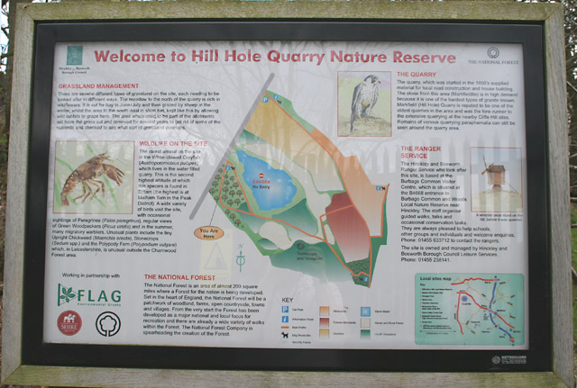
Image: © Kate Jewell Taken: 25 Apr 2006
There are several of these informative information boards around the Nature Reserve.
Images are licensed for reuse under creativecommons.org/licenses/by-sa/2.0
Image Location
Latitude
52.688234
Longitude
-1.2854