Footpath to Haugh Lane
Introduction
The photograph on this page of Footpath to Haugh Lane by Bob Jones as part of the Geograph project.
The Geograph project started in 2005 with the aim of publishing, organising and preserving representative images for every square kilometre of Great Britain, Ireland and the Isle of Man.

There are currently over 7.5m images from over 14,400 individuals and you can help contribute to the project by visiting https://www.geograph.org.uk
Footpath to Haugh Lane
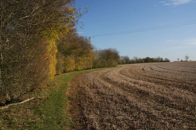
Image: © Bob Jones Taken: 12 Nov 2009
This path at Great Ashfield follows the northern edge of a large field, leading towards the industrial estate at the former airfield.
Images are licensed for reuse under creativecommons.org/licenses/by-sa/2.0
Image Location
Latitude
52.264293
Longitude
0.927356