Maidenhead Flood Relief Channel
Introduction
The photograph on this page of Maidenhead Flood Relief Channel by Nigel Cox as part of the Geograph project.
The Geograph project started in 2005 with the aim of publishing, organising and preserving representative images for every square kilometre of Great Britain, Ireland and the Isle of Man.

There are currently over 7.5m images from over 14,400 individuals and you can help contribute to the project by visiting https://www.geograph.org.uk
Maidenhead Flood Relief Channel
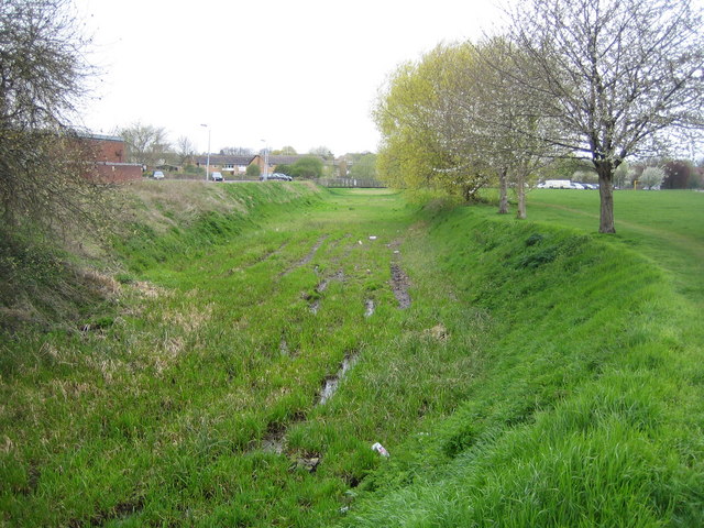
Image: © Nigel Cox Taken: 19 Apr 2006
Viewed looking upstream here, the channel is normally dry with only a few puddles and shallow pools.
Images are licensed for reuse under creativecommons.org/licenses/by-sa/2.0
Image Location
Latitude
51.525379
Longitude
-0.715626