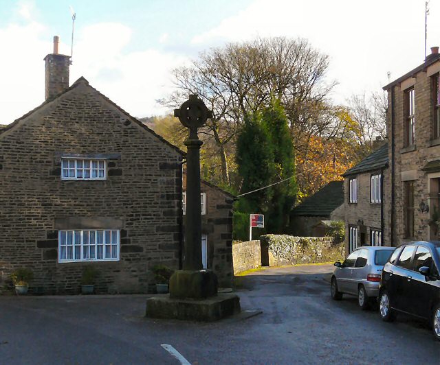
Old Cross
Introduction
The photograph on this page of Old Cross by Gerald England as part of the Geograph project.
The Geograph project started in 2005 with the aim of publishing, organising and preserving representative images for every square kilometre of Great Britain, Ireland and the Isle of Man.
There are currently over 7.5m images from over 14,400 individuals and you can help contribute to the project by visiting https://www.geograph.org.uk

Image: © Gerald England Taken: 17 Nov 2009
During the mediaeval period, from 1157 to the late 15th century, the lordship rights over the lands around Glossop belonged to Basingwerk Abbey in North Wales. Monks from Basingwerk farmed around Charlesworth, and several times Monks found themselves in court in Glossop for poaching. The monks set up crosses at a number of locations around Glossop to mark the boundaries of the area they held. One of these crosses stood at Old Glossop, and indeed most of it still does. The cross-shaft is said to date from 1290, but the cross on top is a relatively modern addition. The cross has also moved to the centre of the road. Old photographs can be viewed on the Old Glossop website https://web.archive.org/web/20120718025058/http://www.old-glossop.com/pages/map/mannorhouse1.html (archive page)

